Lake Tahoe Waterfalls and the Hikes to Them
Updated October 1, 2026 · 13 min read
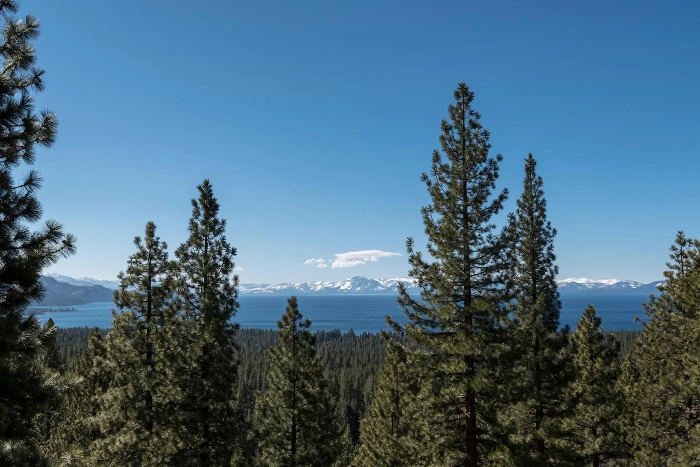
Lake Tahoe's best waterfalls are Eagle, Cascade, Glen Alpine and Horsetail falls near Emerald Bay and South Lake, plus Galena Falls above Incline. They peak in May and June.
The short answer: Lake Tahoe's best-known waterfalls are on the south and southwest side of the lake: Eagle Falls at Emerald Bay, Cascade Falls next door, Glen Alpine Falls near Fallen Leaf Lake, and Horsetail Falls off Highway 50. Upper Eagle Falls and Lower Glen Alpine Falls take almost no hiking. Cascade Falls is an easy 2-mile round trip. Horsetail is a harder 3-mile round trip into Desolation Wilderness. Closer to the North Shore, Galena Falls sits on the Tahoe Rim Trail above Incline Village, and Shirley Canyon at Palisades Tahoe has a string of cascades. All of them are snowmelt falls. They roar in May and June and fade through the summer. In October, most are a trickle.
We manage 41 vacation homes on the North and West Shores, most of them in Incline Village and Kings Beach. This is the list we give our guests, with honest drive times. We checked trail lengths, fees and seasons against the U.S. Forest Service, California State Parks, the Tahoe Rim Trail Association and Palisades Tahoe on October 1, 2026. Fees and road status change, so check the linked pages before you go.
Where to stay for Tahoe hiking
Search by datesFor Galena Falls, Mt. Rose, Tahoe Meadows and Monkey Rock, stay in Incline Village. Lunar Lakeview Haven and Sunlit Incline Retreat both have hot tubs for after the hike. For the Brockway trailhead and the Stateline Lookout, look at Kings Beach, Crystal Bay and Carnelian Bay. For Shirley Canyon, Mammoth Haven Retreat in Tahoe City is the closest. If Emerald Bay and its waterfalls are the plan, our Tahoma and Homewood homes, such as Tranquil Trails Cabin, save you an hour of driving each way. Browse all MG homes or the homes with hot tubs.
If you book on our own site instead of Airbnb, you pay less for the same house. Our nightly prices on Airbnb are set 28% higher than on our own site (17% higher on Vrbo), and every home page shows the dollar saving for your dates. The details are in booking direct vs. Airbnb at Lake Tahoe. Questions about a specific home? Call us at (530) 317-0291 or use the contact page.
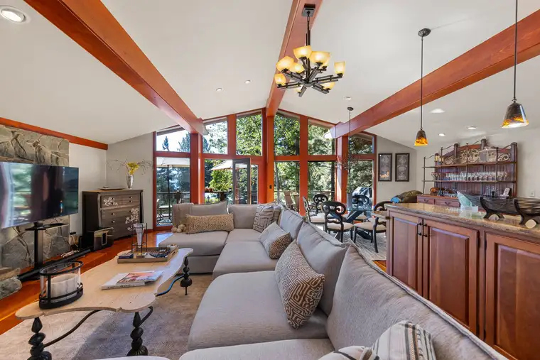
Incline Lakeside Haven
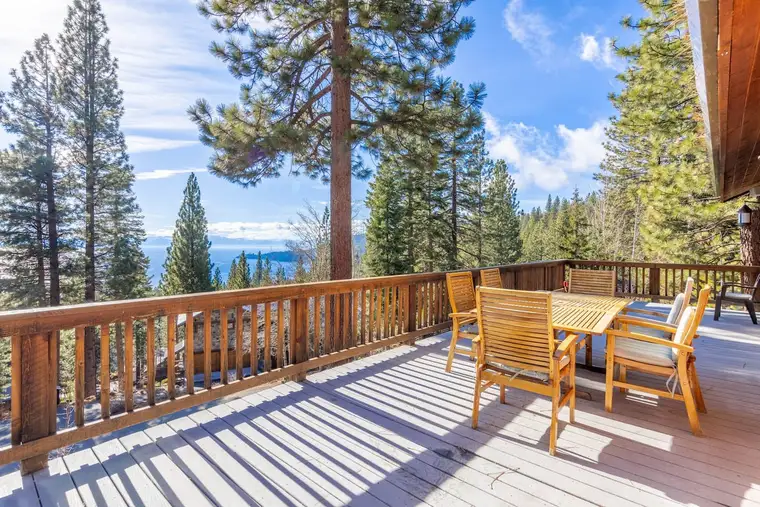
Tranquil Alpine Bliss
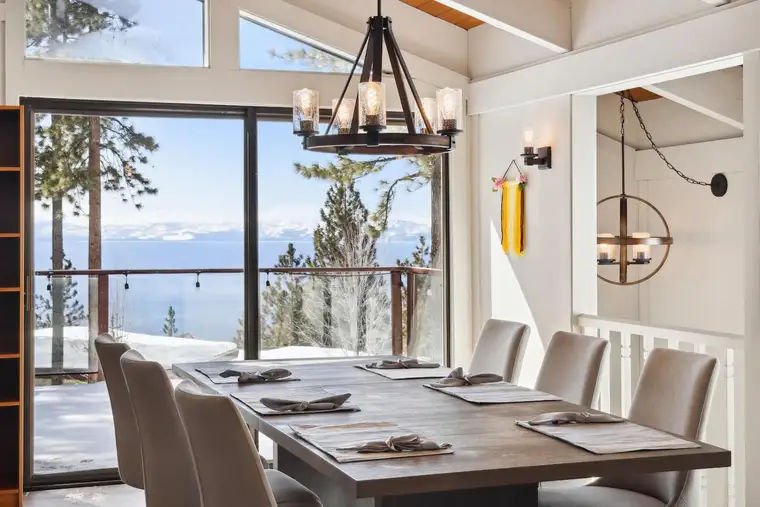
Lake View Treasure
Book direct and pay less than for the same home on Airbnb: pick dates on any home to see the difference.
Thinking of buying in Incline Village? See Incline Village homes for sale on Real Estate Tahoe, our sister brokerage.
Lake Tahoe waterfalls at a glance
| Waterfall | Trailhead | Hike (round trip) | Parking | Drive from Incline |
|---|---|---|---|---|
| Upper Eagle Falls | Eagle Falls, Hwy 89 at Emerald Bay | Short walk; Eagle Lake is 2 miles | $5 USFS lot | About 1 hour+ |
| Lower Eagle Falls | Vikingsholm lot, Hwy 89 | About 2.5 miles, steep climb back | $10/day or $3/hour, State Parks | About 1 hour+ |
| Cascade Falls | Bayview, Hwy 89 | 2 miles, easy but rocky | Paid USFS lot | About 1 hour+ |
| Glen Alpine Falls | Fallen Leaf Lake Road | Roadside; upper falls about 1 mile | Free, small | About 1 hour 15 min+ |
| Horsetail Falls | Pyramid Creek, Hwy 50 at Twin Bridges | 3 miles to the base, rough | $10/day concession lot | About 1 hour 20 min+ |
| Galena Falls | Mt. Rose Summit, NV-431 | About 5 miles | Free | About 15 minutes |
| Shirley Canyon cascades | Palisades Tahoe base | Falls in the first stretch; 6 miles to Shirley Lake and back | Resort lot | About 45 minutes |
Drive times are our no-traffic estimates from central Incline Village. Summer weekends add a lot more.
When the falls actually flow
Every waterfall on this list is fed by melting snow, so timing matters more than the trail. The peak is late spring and early summer, usually May through early July. By August, most falls have dropped a lot. By October, many are a thin ribbon, and some are just a dark stripe on the granite.
This year is drier than usual: in April 2026 the Mount Rose snow course measured 56% of its average for the date, and the state's hydrologist called the March melt record-breaking, KOLO reported. This fall, go for the hike and the views. If waterfalls are the point, come between mid-May and June.
The waterfalls
1. Eagle Falls (Emerald Bay)
Eagle Creek drops out of Desolation Wilderness, passes under Highway 89, and falls again toward Emerald Bay, so there are two ways to see it.
Upper Eagle Falls is a short walk up the trail from the Forest Service Eagle Falls Picnic Area and Trailhead, across Highway 89 from Emerald Bay. The trailhead sits at about 7,100 feet. The trail keeps climbing past the falls to Eagle Lake, 1.0 mile one way and rated moderate by the Forest Service. Eagle Lake is inside Desolation Wilderness, where you need a free day-use permit, self-issued at the trailhead. The Forest Service says the permit boxes are up from Memorial Day weekend through September 30, and permits are only required while they are up.
- Trailhead: Eagle Falls Picnic Area and Trailhead, Highway 89, about 9 miles northwest of South Lake Tahoe
- Parking: $5 per vehicle per day. America the Beautiful annual, senior and access passes park free (USFS).
- Season: usually mid-May to mid-October; no restrooms or trash service in winter
- Crowds: the Forest Service warns it can be extremely crowded on weekends. Go early morning or late afternoon.
- Phone: Lake Tahoe Basin Management Unit, (530) 543-2600
Fees may go up. In July 2026 the Forest Service proposed raising Eagle Falls to $10 a day, rising to $15 within five years. Comments closed September 29, 2026, and the final decision goes through a citizen advisory committee and the regional forester. Check the fee before you go next season.
Lower Eagle Falls is on the Emerald Bay State Park side. From the Vikingsholm parking lot, a steep trail drops about a mile to the lake, and the falls are a short walk behind the Vikingsholm visitor center. Parking is $10 a day or $3 an hour. Dogs are not allowed on the trail. Our Emerald Bay State Park guide and Vikingsholm guide cover that side in detail.
Past Eagle Lake, the Forest Service lists Fontanillis Lake at 4.9 miles and Middle Velma Lake at 4.4 miles one way from the same trailhead, both rated difficult. Fontanillis has its own falls, but that is a full day.
2. Cascade Falls (Bayview)
Cascade Falls pours off the granite at the south end of Cascade Lake, just south of Emerald Bay. It is roughly 200 feet tall, and in spring it is the most dramatic easy hike on this list. The Forest Service lists it as about one mile each way, mostly level but rocky, so wear real shoes. The route to the falls stays outside Desolation Wilderness, so no permit is needed. Stay on the trail near the top: the rock above the falls is steep and slick.
- Trailhead: Bayview Trailhead and Day-Use Area, Highway 89, across from Inspiration Point, about 8 miles northwest of South Lake Tahoe
- Parking: paid lot. The Forest Service page does not list the current amount.
- Season: usually mid-May to mid-October (USFS)
- Dogs: on a leash
- Good to know: Cascade Lake itself is private. No water at the trailhead.
Eagle Falls is about a mile north, so you can do both in one morning.
3. Glen Alpine Falls (Fallen Leaf Lake)
Glen Alpine Falls is the easiest waterfall to reach at Tahoe. The lower falls spill over granite right beside the road to the Glen Alpine trailhead, past the south end of Fallen Leaf Lake. You can see them from the car and walk to the water in a few minutes. Visit Lake Tahoe, the South Shore tourism bureau, puts the lower falls at about 60 feet and the upper falls at about 30 feet, with the upper falls about a 1-mile round trip.
- Getting there: from Highway 89, take Fallen Leaf Road about 3 miles, then follow the single-lane road around the south shore of Fallen Leaf Lake (USFS). Drive slowly and use the pullouts.
- Fees: none at the trailhead
- Season: parking is seasonal, and restrooms and trash service close in winter. The road is not plowed to the trailhead in winter.
- Beyond the falls: the trail continues into Desolation Wilderness. Grass Lake is 2.3 miles one way and Lake Aloha 5.8 miles.
The Forest Service page for this trailhead also carries a bubonic plague advisory for the area. Don't feed or handle squirrels or chipmunks.
4. Horsetail Falls (Highway 50)
Horsetail Falls is the tallest falls on this list. Pyramid Creek drops in a series of steps down a granite face beside Highway 50, west of Echo Summit. You can see it from the highway. The hike to the base is short but harder than the numbers suggest: the Forest Service lists Horsetail Falls (base) at 1.5 miles one way from the Pyramid Creek trailhead, rated moderate, and the upper part is on rough, often poorly marked granite.
- Trailhead: Pyramid Creek, off Highway 50 at Twin Bridges, in Eldorado National Forest
- Parking: $10 per vehicle per day. This lot is run by a concessionaire, so America the Beautiful passes do not apply (USFS).
- Permit: the trail enters Desolation Wilderness. Take a free day-use permit at the trailhead when the boxes are up.
- Phone: Eldorado National Forest, (530) 622-5061
Be careful here: stay off the wet slabs beside the falls and don't cross the creek at high water. This is also the farthest falls from the North Shore, well over an hour each way from Incline.
5. Galena Falls (Mt. Rose, above Incline Village)
Galena Falls is the waterfall closest to most of our homes, and the one we send North Shore guests to first. Galena Creek spills over volcanic rock at the edge of a high meadow below Mt. Rose. You reach it on the Tahoe Rim Trail from the Mt. Rose Summit trailhead on the Mt. Rose Highway (NV-431).
The Humboldt-Toiyabe National Forest says the Mt. Rose Peak Trail begins after the first 2.2 miles on the Tahoe Rim Trail, and the falls are at that junction area. That puts Galena Falls about 2.2 to 2.5 miles from the trailhead, so about 5 miles round trip. The trail is gentle, but it starts near 8,900 feet, so take it slowly.
- Trailhead: Mt. Rose Summit Welcome Plaza, NV-431, 15.6 miles west of I-580 in Reno (USFS)
- Fees: none. Vault toilets, no water.
- Season: the trailhead is open all year, and the highway is kept open in winter. The trail is snow-covered for much of the winter and spring.
- Dogs: on a leash. No bikes past the wilderness boundary.
- Phone: Carson Ranger District, (775) 882-2766
- Drive: about 15 minutes from central Incline Village, about 25 from Kings Beach
The lot fills on summer weekends. From the falls you can keep climbing to the Mt. Rose summit (see below).
6. Shirley Canyon cascades (Palisades Tahoe)
Shirley Canyon is the waterfall hike closest to our Tahoe City homes. Shirley Creek runs down a canyon of granite slabs above the Olympic Valley base area. Palisades Tahoe describes three major waterfalls in the lower section, then about 3 miles to Shirley Lake and 2 more to High Camp, with about 2,000 feet of total climbing. The resort says plainly that it is not a beginner hike. The route is easy to lose on the slabs; the resort's advice is to keep the creek on your right on the way up.
- Trailhead: walk from the main Palisades Tahoe lot to the end of Shirley Canyon Road. Don't park at the trailhead itself.
- Dogs: allowed
- The tram: in summer you can ride the Aerial Tram down from High Camp for free. As of October 1, 2026, the resort lists the tram as closed for the season, so you would hike back down.
- Drive: about 15 minutes from Tahoe City, about 30 from Kings Beach, about 45 from Incline
The first falls are in the lower section, so families can turn around there. Like the others, they are best in spring and early summer.
Getting to the south-side falls from the North Shore
Be realistic about distance. Most of our homes are in Incline Village and Kings Beach, at the north end of the lake. Emerald Bay is about 34 miles from central Incline by road. That is at least an hour each way with no traffic, and more on a summer weekend, when the West Shore and the Emerald Bay parking lots both fill. From Kings Beach it is about 50 minutes. From our homes in Homewood and Tahoma, Eagle Falls is only about 20 minutes south.
Our advice:
- Leave by 7 am. You want to be in a lot at Emerald Bay by 8:30 on a summer weekend.
- Stack them. Eagle Falls, Lower Eagle Falls and Cascade Falls are all within about a mile of each other on Highway 89. Do two, have lunch, and drive home.
- Save Glen Alpine and Horsetail for a day you are already in South Lake Tahoe.
- Check the road in winter. Caltrans closes Highway 89 through Emerald Bay during and after some winter storms because of slide areas above the road. It closed in January 2026 and again in February 2026. It can stay shut for days. Check Caltrans QuickMap before you leave.
The south-side trailheads (Eagle Falls, Bayview, Glen Alpine) are seasonal, usually mid-May to mid-October. In winter the trails are icy and the falls frozen or buried.
Other best hikes near the North Shore
If you came for the hiking more than the waterfalls, you don't need to drive to Emerald Bay. Most of these start within 20 minutes of our North Shore homes.
Tahoe Meadows Interpretive Trail (easy)
An easy loop of about 1.3 miles through a high meadow on the Mt. Rose Highway, per the Forest Service. Good for kids and a first day at altitude, and a free snowshoe spot in winter (see Incline Village in winter).
Stateline Fire Lookout (easy to moderate)
A short climb above Crystal Bay to the site of an old fire lookout, with a self-guided nature trail and free telescopes pointed at the lake. The Forest Service directions: turn north off Highway 28 onto Reservoir Drive, just east of the old Tahoe Biltmore, then right on Lakeshore Avenue, and park near the gate on Forest Service Road 1601. No fee, day use only, vault toilet, no water, and no restrooms in winter.
Monkey Rock (moderate)
A short, steep hike from the south end of Incline Village to a granite outcrop shaped like a monkey's head, with a big view down the lake. Nevada Trail Finder lists it at 2 miles round trip with about 500 feet of climbing, starting behind Tunnel Creek Café on Tunnel Creek Road, off Highway 28. The lot in front of the café is paid (free after 7 pm). Dogs are allowed.
Tahoe Rim Trail: day hikes from Tahoe City, Brockway and Tahoe Meadows (moderate)
The 165-mile Tahoe Rim Trail loops the whole lake, and three of its trailheads are close to our homes. The Tahoe Rim Trail Association lists these North Shore sections:
- Tahoe City to Brockway Summit: 20.5 miles. Its day-hike breakdown has Brockway Summit to Watson Lake at 6.7 miles (moderate) and Watson Lake to Tahoe City North at 12.5 miles (easy to moderate). The Brockway trailhead is a dirt lot on the west side of Highway 267, about half a mile below the summit and a few minutes from Kings Beach. The Tahoe City trailhead is off Fairway Drive.
- Brockway Summit to Mt. Rose Summit/Tahoe Meadows: 20.2 miles, crossing Relay Peak at 10,338 feet, the highest point on the trail.
- Tahoe Meadows to Spooner Summit: 24.1 miles along the ridge above the east shore.
Most people hike out a few miles and turn around. The Forest Service has proposed a new $10 daily fee at the 64 Acres site in Tahoe City, which is near the Tahoe City trailhead; no decision had been made as of October 1, 2026.
Mt. Rose summit (hard)
The big one on the North Shore, and the trail passes Galena Falls on the way. The Humboldt-Toiyabe National Forest puts it at about 5.4 miles one way (2.2 on the Tahoe Rim Trail, then 3.2 on the Mt. Rose Peak Trail) with about 2,400 feet of climbing, rated hard. The Lake Tahoe Basin page rounds the round trip to 12 miles and gives the summit as 10,776 feet. No permit is needed for day hikers. Leashed dogs only, no bikes. Start early and turn back if afternoon storms build.
Rubicon Trail (moderate, West Shore)
The best lakeshore hike at Tahoe, along the cliffs between D.L. Bliss State Park and Emerald Bay. California State Parks lists it at 7.4 miles around Emerald Bay, with about 5.7 miles from D.L. Bliss to Vikingsholm. Dogs are not allowed. As of October 1, D.L. Bliss is in its off-season: the gate is closed to cars, and you park at the visitor center by Highway 89 and walk in, with no restrooms or water. Day use is $10 per vehicle.
Farther afield
For hikes in the national forest north and west of the lake, including Five Lakes in Granite Chief Wilderness, see our Tahoe National Forest guide. For a flat, paved walk along the water from Incline, see the Tahoe East Shore Trail guide.
Practical tips
- Altitude is real. Many of these trailheads are above 6,000 feet, and the Mt. Rose trailhead is near 8,900. Drink more water than you think you need.
- Stay off wet granite. The rock next to falling water is slick even when the trail is dry.
- Bears are active from spring through November. Don't leave food in the car at trailheads.
Beyond the trail
Plan the rest of the day with our guides to Emerald Bay State Park, Vikingsholm, Lake Tahoe beaches and things to do in Lake Tahoe. For timing your trip around snowmelt, crowds and weather, see the best time to visit Lake Tahoe.
Questions
What is the easiest waterfall to see at Lake Tahoe?
Upper Eagle Falls at Emerald Bay and Lower Glen Alpine Falls near Fallen Leaf Lake are the easiest. Upper Eagle Falls is a short walk from the Forest Service Eagle Falls trailhead on Highway 89, and Lower Glen Alpine Falls sits right beside the road to the Glen Alpine trailhead.
When is the best time to see waterfalls at Lake Tahoe?
Late spring and early summer, roughly May through early July, when the snow is melting. By late summer most falls shrink, and by October many are a trickle or a wet streak on the rock. Spring 2026 had a well-below-normal snowpack, so flows this fall are lower than usual.
Do I need a permit to hike to Eagle Falls?
Not for the falls. Upper Eagle Falls is outside Desolation Wilderness. If you continue to Eagle Lake, about a mile from the trailhead, you enter the wilderness and need a free day-use permit from the box at the trailhead. The Forest Service says the day-use boxes are up from Memorial Day weekend through September 30, and permits are only required while they are up.
How much does it cost to park at Eagle Falls?
The Forest Service charges $5 per vehicle per day at the Eagle Falls Picnic Area and Trailhead, and America the Beautiful annual, senior and access passes park free. In 2026 the Forest Service proposed raising it to $10, then $15; no decision had been announced as of October 1, 2026. The trailhead is usually open mid-May to mid-October.
Is there a waterfall near Incline Village?
Yes. Galena Falls is on the Tahoe Rim Trail about 2.2 to 2.5 miles from the Mt. Rose Summit trailhead on the Mt. Rose Highway, about 15 minutes' drive from Incline Village. It is the closest real waterfall hike to our Incline and Kings Beach homes.
How far is Emerald Bay from Incline Village?
About 34 miles around the north and west shores, which is at least an hour each way with no traffic and longer on summer weekends. From Kings Beach it is about 50 minutes. Highway 89 through Emerald Bay can close after winter storms.
Are dogs allowed on Lake Tahoe waterfall trails?
On the Forest Service trails, leashed dogs are generally allowed, including Eagle Falls, Bayview to Cascade Falls and the Mt. Rose trails. California State Parks bans dogs on the trail down to Vikingsholm and Lower Eagle Falls and on the Rubicon Trail. MG homes do not accept pets.